

[SHIFT of 15/10/2014]
The latest version 1.08-69 is a major update that introduces a novelty of size : the ability to download a, or more, mapping(s) to display the data in the GRIB files. It also offers the free GFS files to 8 days.
The application presents a new icon in the top toolbar that provides standard free access to three types of Basemaps : Blue Marble (by default), OSM (Open Street Map) or a combined Bing Maps – Aerial (Satellite). In the selection window, two associated buttons activate the functions :
- OK maps : to load cached the contents of the base map, and therefore use it offline.
- Manage maps : to subscribe to a selection of marine cartography covering the world.
Charts with GeoGarage
The web site GeoGarage (¹) provides download of the different hydrographic services from raster nautical charts. Of course this service is not free. Variable levies are collected by the publishers, and GeoGarage establishes its prices accordingly.
 Weather4D therefore proposes a list of publishers with subscription rates that are directly assigned to the download site. The subscription is annual and allows the permanent updating of maps. More cards purchased can be maintained in memory cache (to 2 GB of memory) for use without login. Elles sont affichées sous forme de « tuiles » se superposant de manière particulièrement fluide à mesure des niveaux de zoom activés. The start list, who understands NOAA RNC (USA), LINZ (New Zealand, DHN (Brazil) is not exhaustive. It will be supplemented in the future by cards that can cover the world, like those of the SHOM, When the functions of navigation under development will be finalized.
What for ?
As a first step, in the current state of the application, the utility may seem questionable. View the GRIB files on a nautical chart or on a base map is not a big difference for the interpretation of the weather forecast.

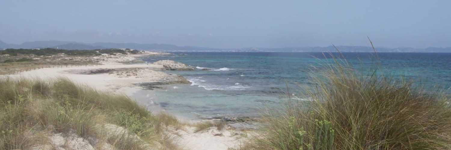
WRF data fine mesh on a map of SHOM. Left wind and pressure, right height and wave direction.
But, as said my grandmother, It hides something !
In fact, upgrading in place - and music - this GeoGarage mapping service (²) is a prerequisite for the implementation of the routing. Weather4D will allow, in the near future, to create waypoints, and therefore roads, directly in the application, as precisely as in a navigation application. Multiple optimized routes can be tested before being exported in a navigation application. This will also, as a first step, Save time by freeing himself to create first roads in a navigation application, then export them in Weather4D for optimize them.
A new economic model for mapping
I note, Since the beginning of the year 2014, that almost all of the editors of map that created a navigation application for smartphone and Tablet tends to increase the price of the map to download areas, not so much by the original selling price for each zone (or region), as the price of renewal of cards, required if you want to continue updates. Navionics, the leader on this market, to formalized this principle by a renewal subscription ' Navionics' service which amounts to buy every year - or - region(s) purchased(s) at the same price.
Weather4D and GeoGarage drive in a nail with a mapping server "in the cloud"., by offering the official maps of the hydrographic services of many countries (and not private as Navionics maps, Garmin, Jeppesen, and other) by a simple subscription system in-app, renewable or not depending on the geographical areas. A thousand miles of the complexity of a server as X-Traverse which is a headache for users of iNavX.
And the suite ? Navigation features will soon be added, as well as the support of the NMEA data. Combined with with weather and routing, These new features will enable Weather4D to gain autonomy by gradually becoming a comprehensive navigation application.
GFS
Previously the free version to the download of Weather4D allowed to test the application for a short period. Now you can use it for free for only files GRIB of the GFS model to maturity of 8 days. Nice, non ?
—
(¹) GeoGarage is a service of Cloud Computing of the Magic Instinct Software company headquartered in Nantes.
(²) Unique in the world to date on Android system.
—
Hello mr Fustier,
You are talking about in this article of a major update in Android version.
It is not available on the Playstore nor on the developer's site.
The online version is the 1.07-65
Is being validated ?
Do you have an online date ?
Thanks for this blog that allows to follow the evolution of the Android system with regard to navigation-related applications.
Regards
Bertrand Deligne
ERRATUM :
The version mentioned in my article is not yet online. It is imminent, with a surprise extra. A little patience, donc 😉